Eficiencia, seguridad y precisión en infraestructuras críticas
Inspection of industrial infrastructure is a key process to ensure the safety, efficiency and operability of strategic assets. However, traditional inspections are often costly, time-consuming and risky for human teams that must access high structures or difficult to access environments.
Drones Maritime offers advanced drone inspection solutions, reducing operational costs, minimising risks and optimising data collection in wind turbines, solar plants and power lines.
Using cutting-edge technology, high-precision sensors and automated analysis, we provide detailed information in real time, enabling companies to make informed decisions and maximise the efficiency of their operations.
TECHNOLOGY APPLIED TO INDUSTRIAL INSPECTIONS
The drones we use for industrial inspections are equipped with specialised sensors that allow us to capture ultra-high resolution images, thermal scans and 3D models of the infrastructures being assessed.
High-resolution optical cameras: They can detect cracks, corrosion, wear and tear and anomalies in structures with greater accuracy than conventional visual inspections.
Advanced thermal cameras: Ideal for detecting faults in electrical equipment, overheating in components and thermal leakage points in solar systems.
LIDAR (Light Detection and Ranging): Laser scanning technology that generates digital models of structures, facilitating their analysis and maintenance planning.
Artificial Intelligence and Machine Learning: Image processing software that can automatically identify defects and generate detailed reports in a matter of minutes.


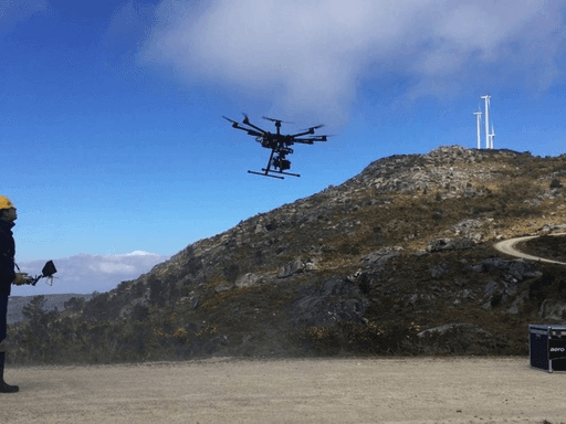


Inspection of
wind turbines
Wind farms require regular inspections to detect damage to blades, structures and mechanical components. Manual inspections can require up to 6 hours per turbine, plus scaffolding, cranes and operational downtime that affect energy production.
Our drones can perform a complete inspection in just 30 minutes, reducing costs and minimising downtime.
Blade damage detection: Cracks, erosion, delamination or lightning strikes are identified in high-resolution images.
Structural and fastener analysis: Towers and nacelles are inspected for mechanical failure.
Thermal inspection of generators and electrical components: Identification of overheating in inverters, connections and cables.
Reduced downtime: Prolonged outages are avoided through fast and accurate analysis.
The implementation of drones in wind turbine inspections reduces maintenance costs by 40% and improves the safety of technical teams by eliminating the need for work at height.

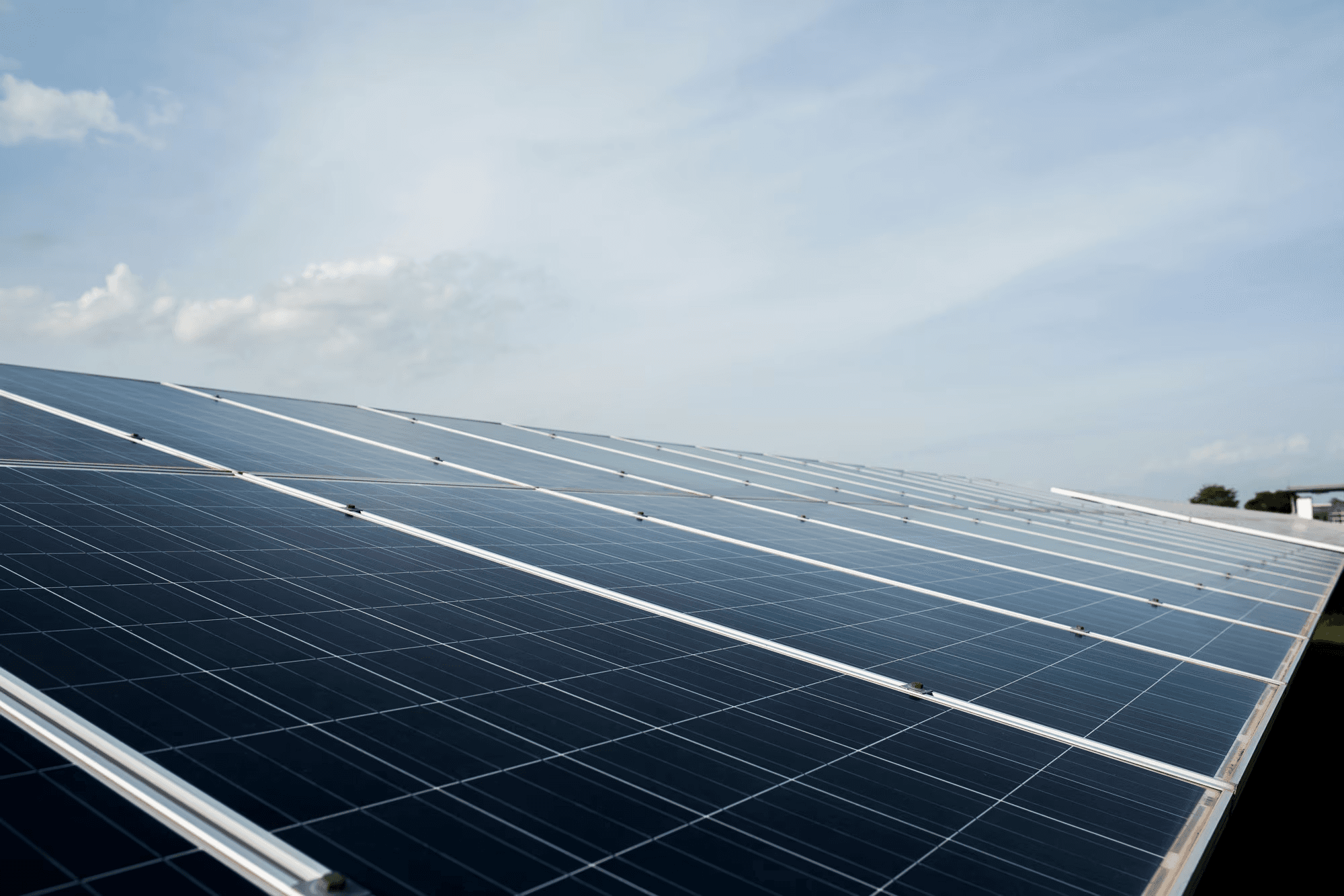
Inspection
of solar plants
The performance of a solar plant depends on the efficiency of its photovoltaic panels. System failures can lead to production losses of up to 30%, affecting the profitability of the farm.
Using drones equipped with thermal cameras and multispectral sensors, we carry out inspections that allow us to detect defects and energy losses quickly and accurately.
Identification of hot spots: Panels with manufacturing defects or deterioration that reduce system efficiency.
Inspection of electrical connections and cables: Identification of faults in inverters and power transmission systems.
Dirt and degradation analysis: Monitoring the condition of the panels to optimise cleaning and maintenance.
Real-time thermal mapping: Rapid assessment of large areas without the need for manual inspections.
The use of drones for solar plant inspections reduces maintenance costs by 50% and improves the energy efficiency of the photovoltaic park.
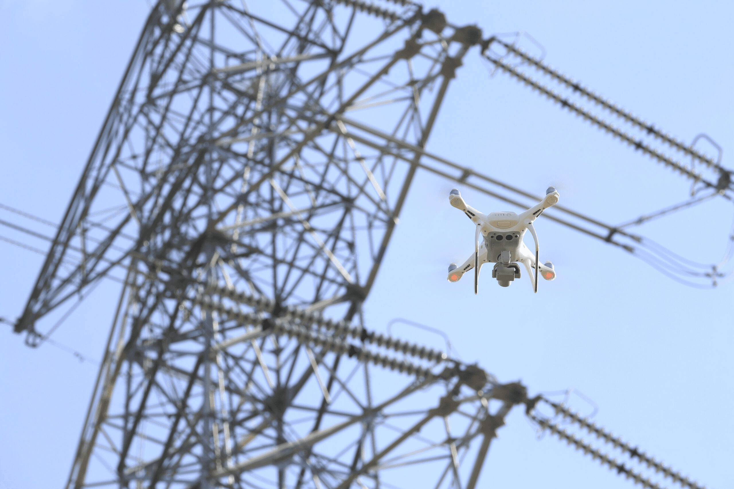
Inspection
of power lines
Power transmission and distribution networks require constant inspections to prevent failures that could lead to service interruptions, economic losses or fires.
Traditional inspections with helicopters or ground equipment are costly and dangerous, while drones allow a safe and detailed assessment in less time.
Detection of overloads and faults in insulators: Use of thermal cameras to identify overheating points in connections.
Inspection of structures and towers: Assessment of the condition of poles, cables and structural components.
Monitoring of nearby vegetation: Identification of trees and branches at risk of contact with power lines.
Automatic reporting with AI: Predictive failure analysis based on historical data and deterioration models.
The use of drones reduces inspection costs by 30% compared to helicopters and reduces risks for technical staff by avoiding work at height.
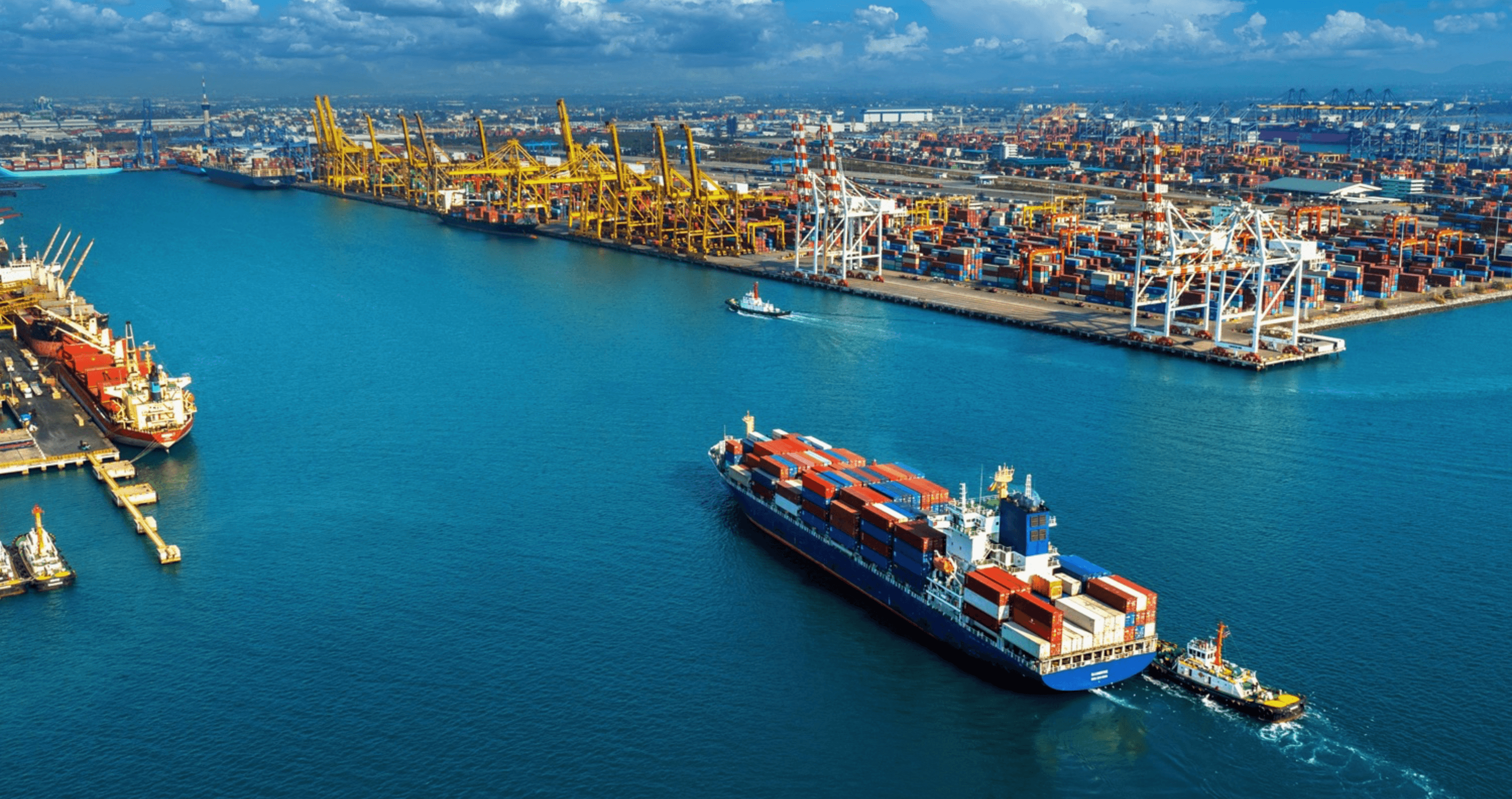
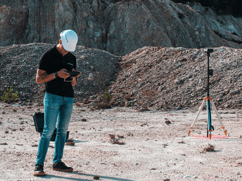
Bulk measuring
We use two technologies to calculate the volume of bulk parcels accumulated in ports.
LiDAR: This is the use of a laser sensor which, by shooting thousands of times per second, collects measurements and uses them to reproduce very precise models (even 3D models) of maps or vegetation environments. LiDAR certifies the distance by measuring the time it takes for the laser pulse to reach the measured object and return to the drone. This feature makes it possible to obtain geospatial data for subsequent topographic surveys and in our case to calculate the volume of the mass seen when flying over it.
Photogrammetry: This is a technique that allows us, through the use of photographs and their post-processing combined with the geopositioning of the drone at the moment of taking them, to calculate extension and volume, creating highly accurate three-dimensional maps.
With the use of these maps, we can calculate the volume of bulk plots and their evolution since the previous photograph was taken.
Photogrammetry is a less precise technique than LiDAR but more economical, and we use it when the client does not require that level of precision.
Advantages in the use of drones for the calculation of bulk volume in port terminals:
Reduce time and costs
by increasing quality.
Time reduction. This technology makes it possible to considerably reduce data collection times, speeding up operations. This advantage translates into an important benefit for the client, as delivery times are also reduced.
Costs are reduced. Of course, the less work that has to be invested in the development of the work, the lower the costs for the client.
Greater accuracy. Capturing information with a drone flight means more accurate data. This is yet another advantage, as the measurements obtained have an almost non-existent margin of error.
More detail and higher quality. The images obtained with drones provide much more detail and higher quality images.
Keep your staff out
of harm's way.
Accessibility to any location: In traditional measurements, there are areas that are difficult to access, making data collection difficult and slow. With the use of drones, accurate information can be obtained from any location, regardless of the conditions of the terrain being worked on.
Increased safety for people: Here it is also important to pay attention to the safety of professionals, as risks are avoided in particularly rugged terrain.